During the Jurassic, some 170 million years ago, tectonic activity associated with the fragmentation of the ‘supercontinent’ Gondwana and subsequent faulting laid the foundations of the dolerite mountains typical of much of the WHA. In the Macquarie Harbour region, faulting occurred during the Tertiary period (65–2 million years ago), resulting in the formation of the Macquarie Harbour graben. This downfaulted block is the most spectacular example in the State and reaches a depth of 600 m. Much of it is now filled by Tertiary sediments. The Ice Age In many respects today’s landscape is a legacy of the Ice Age. Broad, U-shaped valleys, such as the Surprise Valley along the Lyell Highway, and highland tarns and cirques all owe their characteristic appearance to the action of glaciers. Like massive rasps across the landscape, glaciers have resulted in the dislodgment of vast amounts of gravel debris from the headwaters of the Franklin and Gordon rivers. Much of this sediment was subsequently washed downstream.
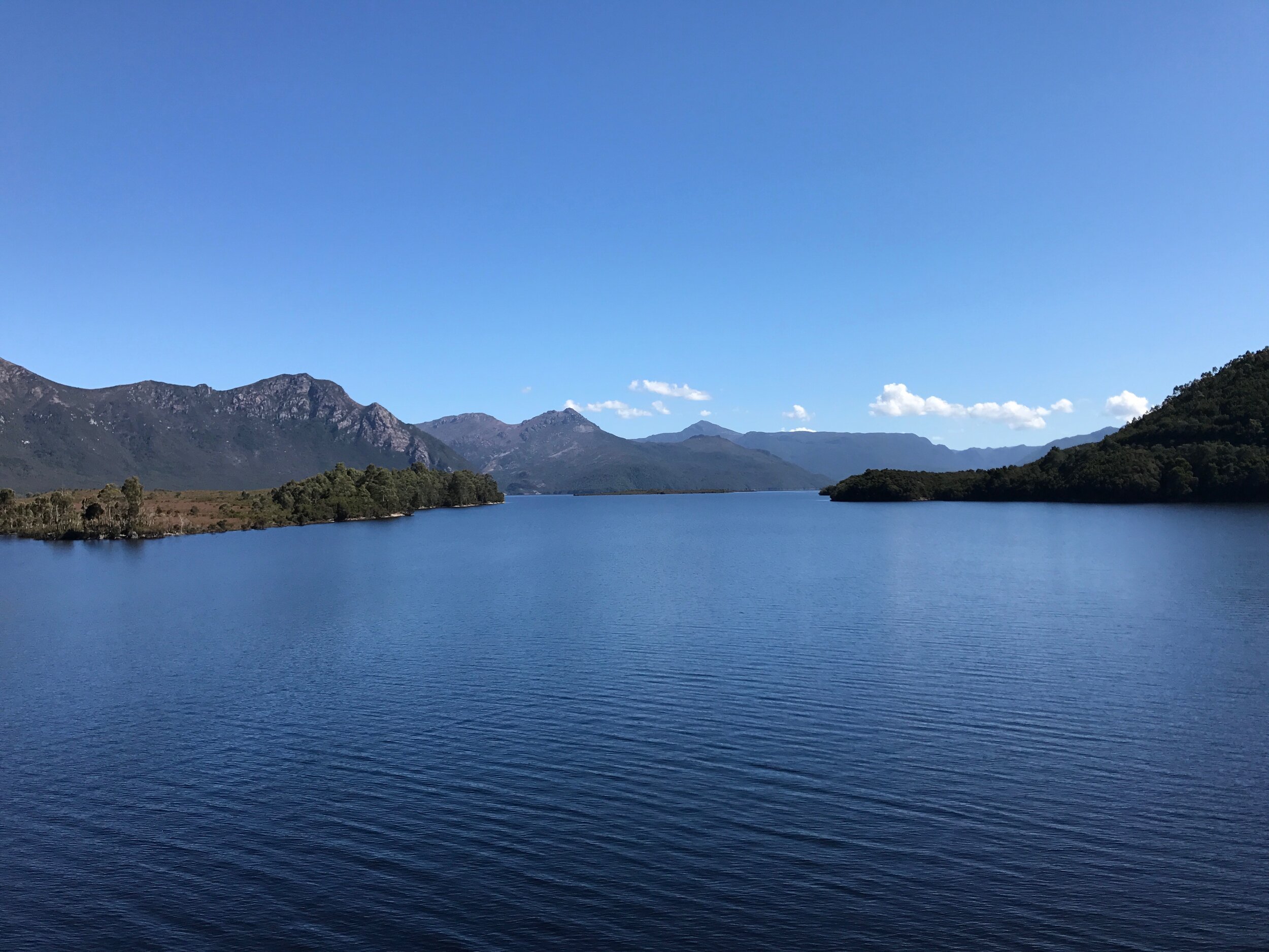
Tasmania has undergone at least three major glaciations throughout the Pleistocene (2 million–10 000 years ago). During the last Ice Age, from 100 000–10 000 years ago, global sea levels were about 100 metres lower than present. Macquarie Harbour as we know it today would not have existed. Instead, the Gordon and King rivers would have flowed to a coastline some distance seaward of the present day coast. With the end of the Ice Age, sea levels rose, stabilising to their present level around 6000 years ago. This resulted in the flooding of the Gordon and King River valleys.


